Hebrew: Herodyon / Arabic: Jabal al-Fraidees
Coordinates: 31°39′57″N 35°14′29″E / Elevation: 2,490 (760m)
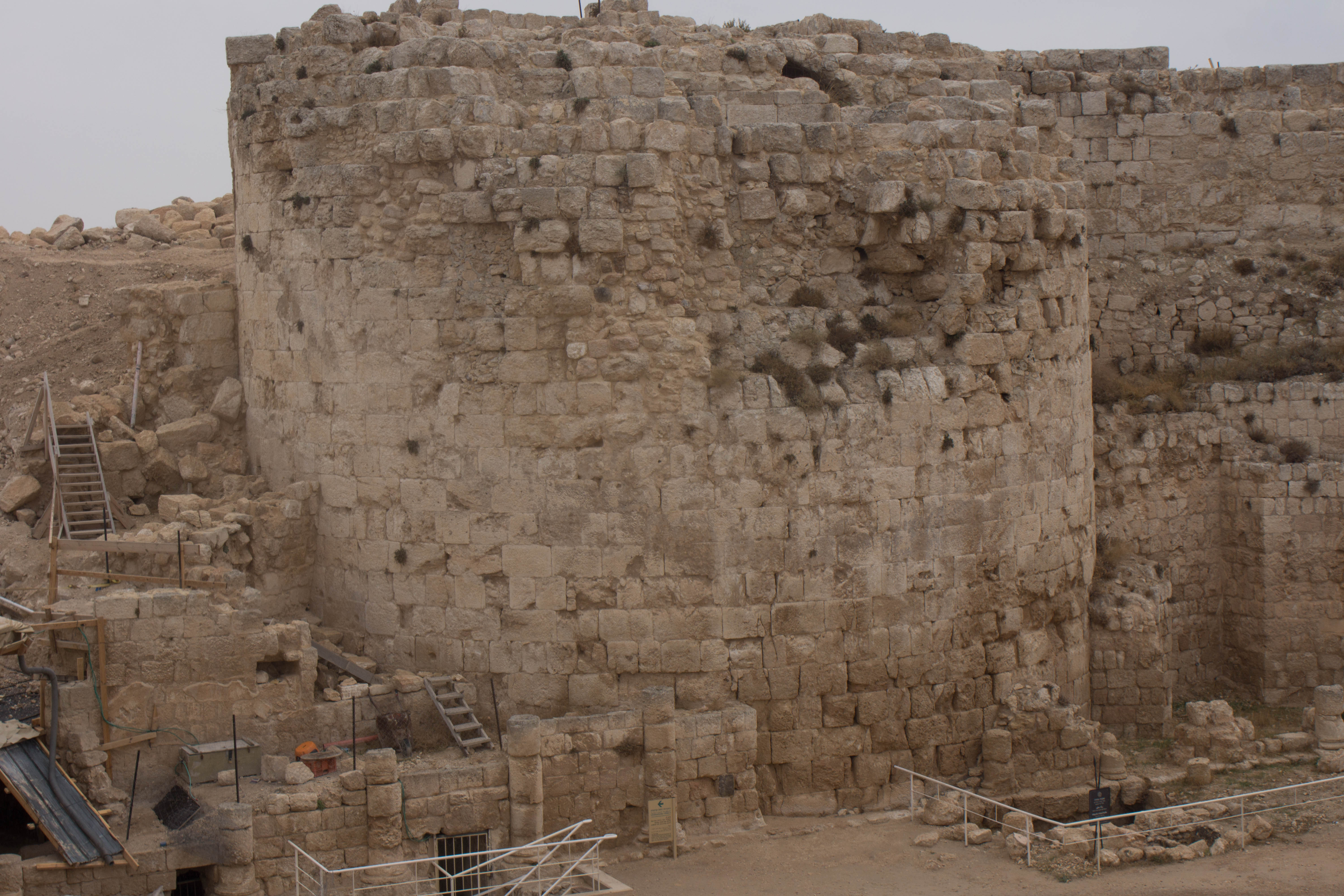
About 3 miles (5km) of Bethlehem lies a conical shaped hill known as the Herodium. This hill, which is part natural and part man-made, contains the ruins of a fortress, a palace and a small town built by King Herod between 23-15BC. At one time, it stood substantially higher than it does today, being crowned with a turreted fortress and covered with casement stones.

Of all of Herod’s magnificent buildings, this was the only one to bear his name and was chosen by the less-than-loved monarch to be the resting place for his body after his death. For many years, archaeologists considered Herod’s tomb to be more legendary than fact, until it was reportedly found in 2007, and excavated between 2009-2010. The location has since been challenged by a small number of archaeologists, though most consider its identification to be correct.

The site was originally destroyed by Rome in 71AD during the 1st Revolt. It was partially rebuilt as a Roman garrison and later used by Simon bar Kokhba as his fall-back headquarters during the 2nd Revolt, 132-136AD. At that time, Rome thoroughly raised the site so it could not be used as a fortress again.

In subsequent centuries, the ruins have been used by various religious groups, notably during the Byzantine era. The site also proved an excellent source of building materials for neighboring towns, as people plundered its rich lode of casement and other finished stones for their own uses.

We will be visiting the site because of its rich history, magnificent ruins and even more magnificent views – the very reason why Herod selected this spot as the administration center of Judea.
View the gallery at Herodium:


Comments are closed.