Kursi National Park
Coordinates: 32°49′33″N, 35°39′01″E / Elevation: -660
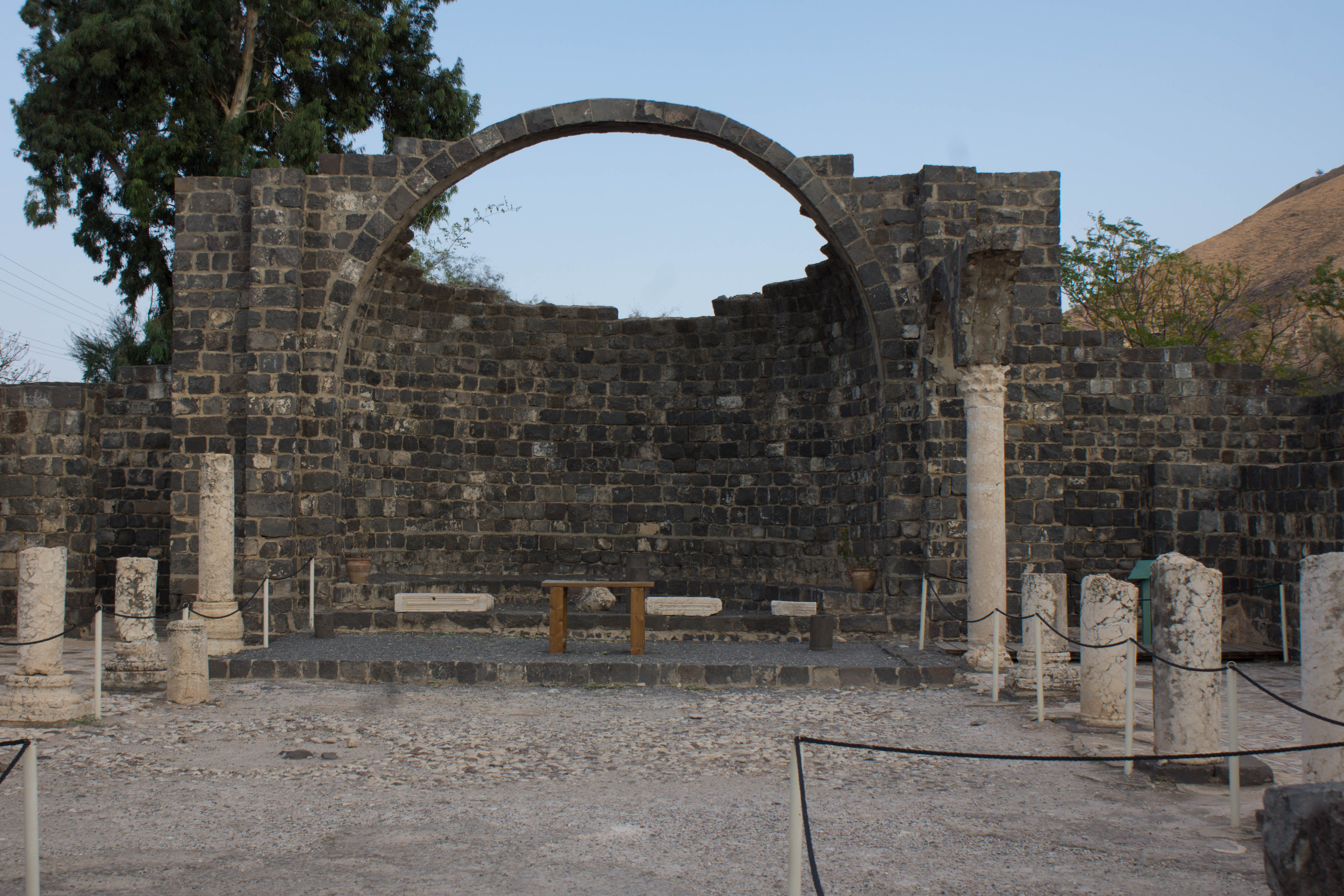
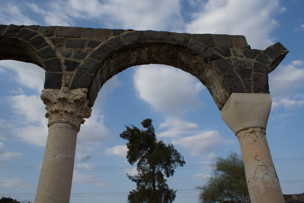
The ruins of the monastery at Kursi were discovered by road crews in the early 1970’s. Excavations from 1971-1974 date the monastery to the 5th century. It was damaged either by natural events (such as an earthquake) or by Arab incursions in the 7th century, after which time it was abandoned. The site is large and exhibits excellent examples of Byzantine architecture, including mosaics, an impressive apse and underground vaults. » Read more » less
Kursi in the Bible: The name Kursi is not found in the Bible, though the region (Gadara/Gadarenes/Gergasa/Gerasa) associated with it Kursi is. Gadara, which was about 6 miles east of the Sea of Galilee, was part of the Decapolis, a collection of thoroughly Hellenized cities ruled by Herod Antipas. (The term, Decapolis, means “Ten Cities”.) According to the New Testament, the incident with the demoniac happens not in Gadara, but “in the region of the Gadarenes,” which, from the story, included an area that overlooked the east side of the lake. The region is mentioned only in reference to the story of demoniac(s) and the incident with the pigs (Matthew 8:28-33; Mark 5:1-20; Luke 8:26-37).
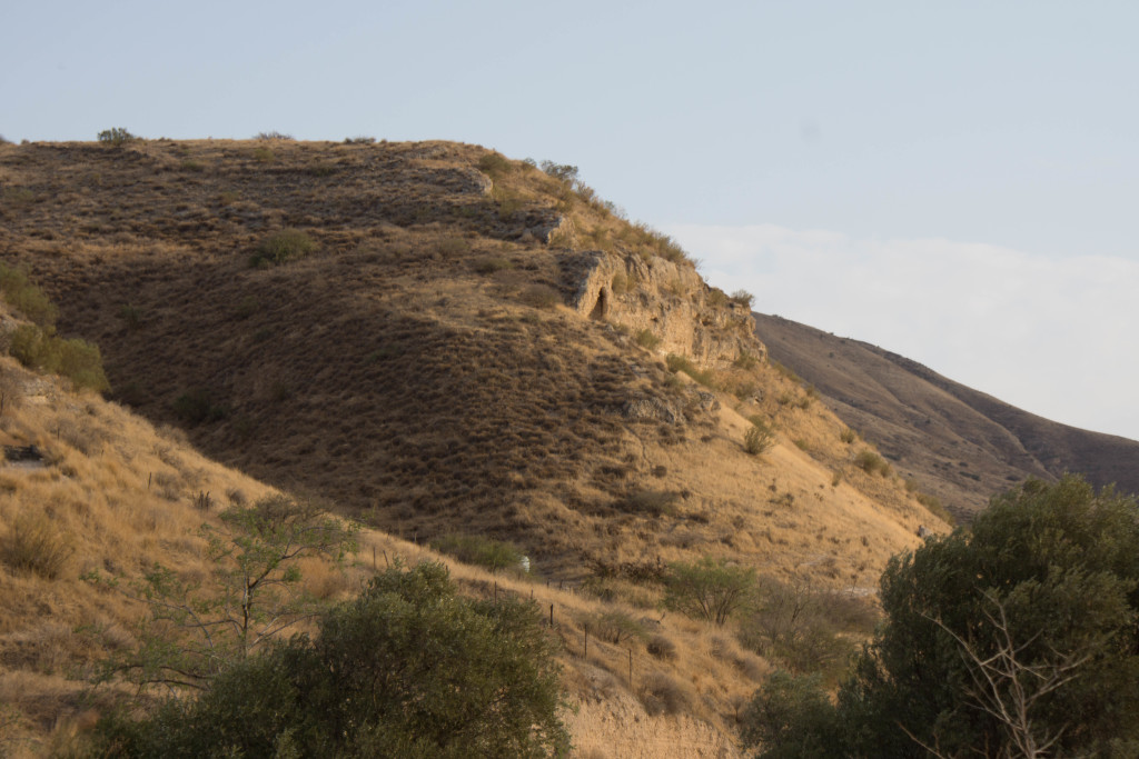
Why we stopped: Aside from the ruins, which are impressive, gazing on the rugged terrain while considering what it means to be “consigned to the dead” because of spiritual and psychological affliction can be instructive. The plight of the demoniac(s) is not unlike the spiritually and psychologically handicapped people of our day whom society – including Christian society – does not know how to embrace. How good to be reminded that such barriers do not exist for our Savior!
View the Gallery of Kursi
Categories: Locations
Tags: Kursi.

Comments are closed.